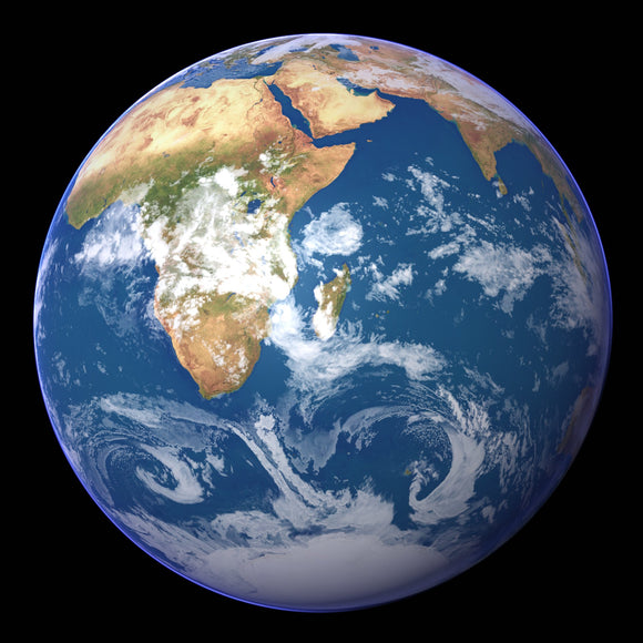
Earth Satellite Images Collection
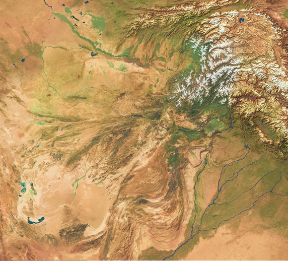
High res satellite imagery of afghanistan at 240 meters resolution
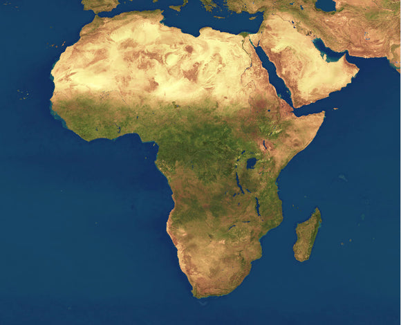
High res satellite imagery of Africa at 1km resolution
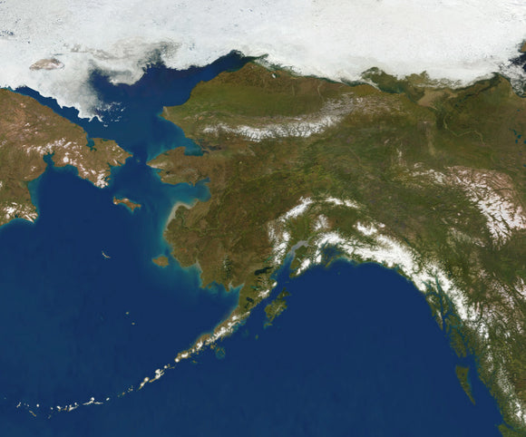
High res satellite imagery of Alaska at 250 meters resolution
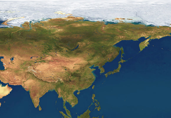
High res satellite imagery of Asia at 1km resolution
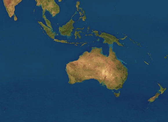
High res satellite imagery of Australia at 1km resolution
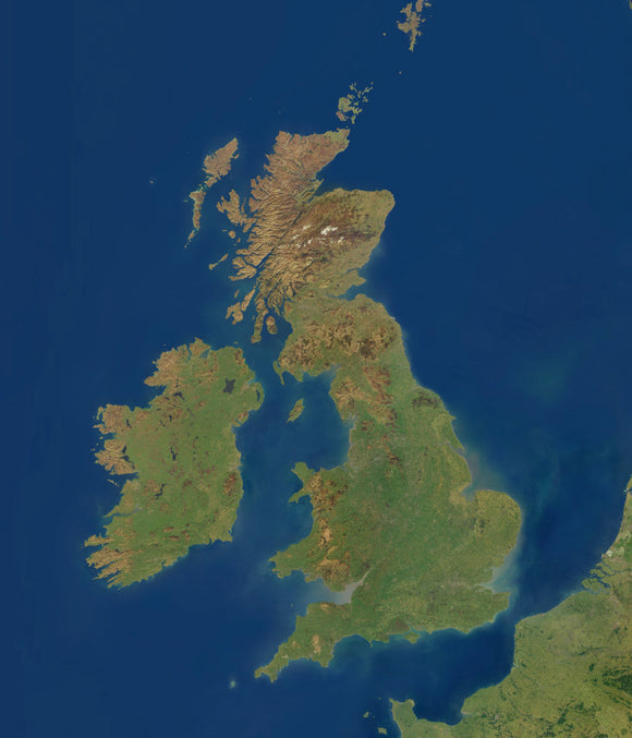
High res satellite imagery of British Isles at 250 meters resolution
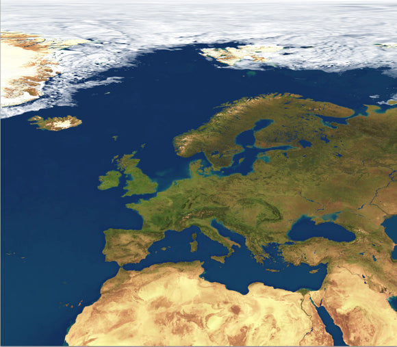
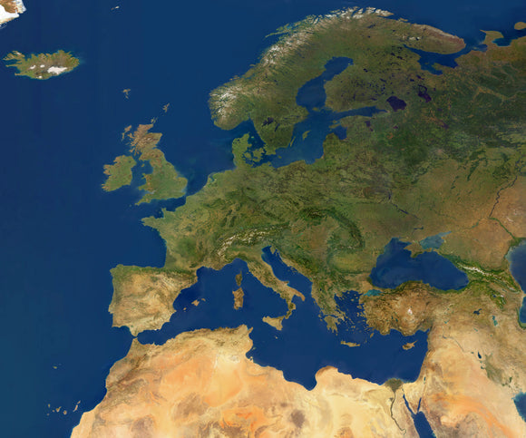
High res satellite imagery of Europe at 1km resolution
High res satellite imagery of Europe at 250 meters resolution
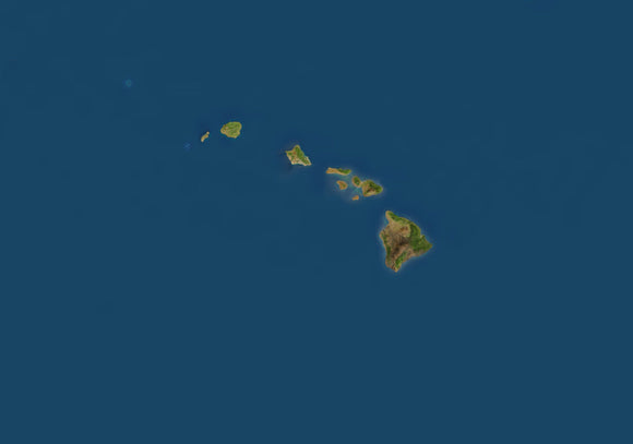
High res satellite imagery of Hawaii at 250 meters resolution
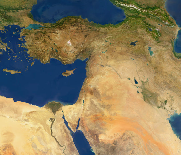
High res satellite imagery of Middle East at 250 meters resolution
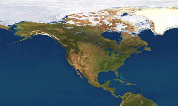
High res satellite imagery of North America at 1km resolution
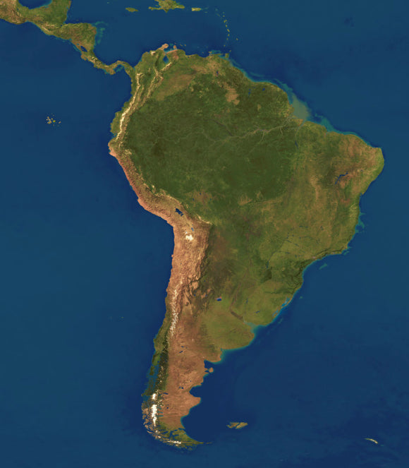
High res satellite imagery of South America at 1km resolution
High res satellite imagery of South Pacific at 1km resolution
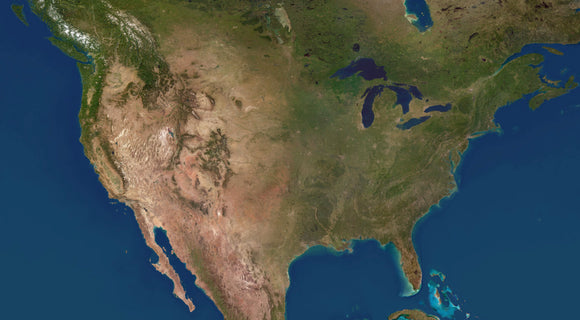
High res satellite imagery of USA at 250 meters resolution
Products World 4 km Photoshop JPEG Satellite map and Illustrator EPS vector map - Cartographic projection
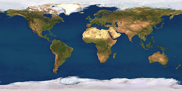
World Satellite 1 km resolution
World Satellite 2 km resolution
World Satellite 4 km resolution