
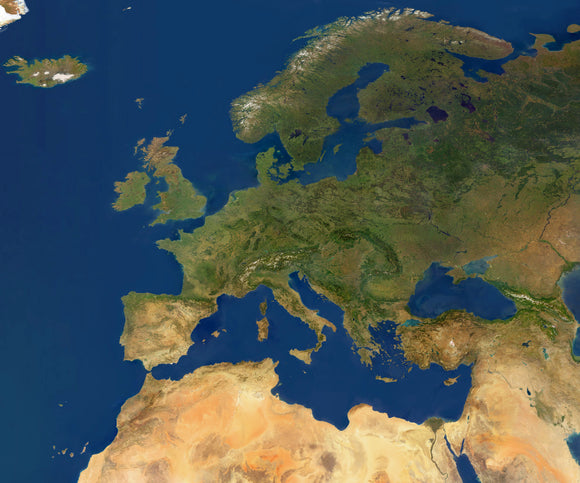
High res satellite imagery of Europe at 250 meters resolution
The satellite image of Europe at 250 meters per pixel resolution gives an image 24825 pixels wide by 20774 pixels high giving an image 165.5 inches wide at 150 dpi. The uncompressed file size is 1470 MB. Projection is defined as Plate Carree / Geographical / Linear.
The satellite systems provide frequent global coverage and generate realistic land surface colour for anywhere in the world.
Ocean color is derived from a combination of ocean depth and ocean chlorophyll observations. Polar areas covered by sea ice are derived from individual optical images.